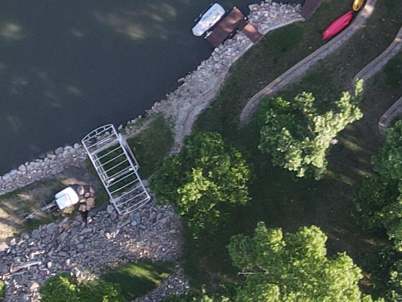
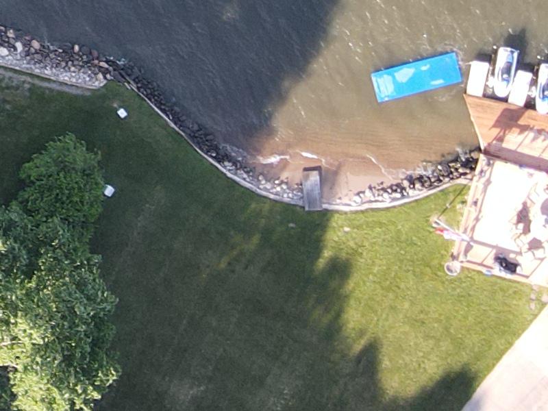
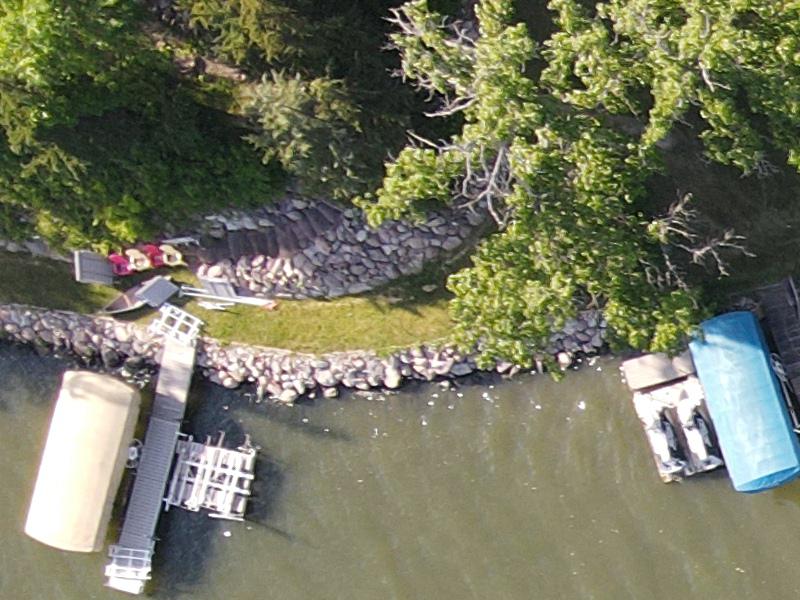
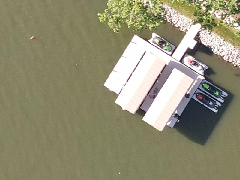
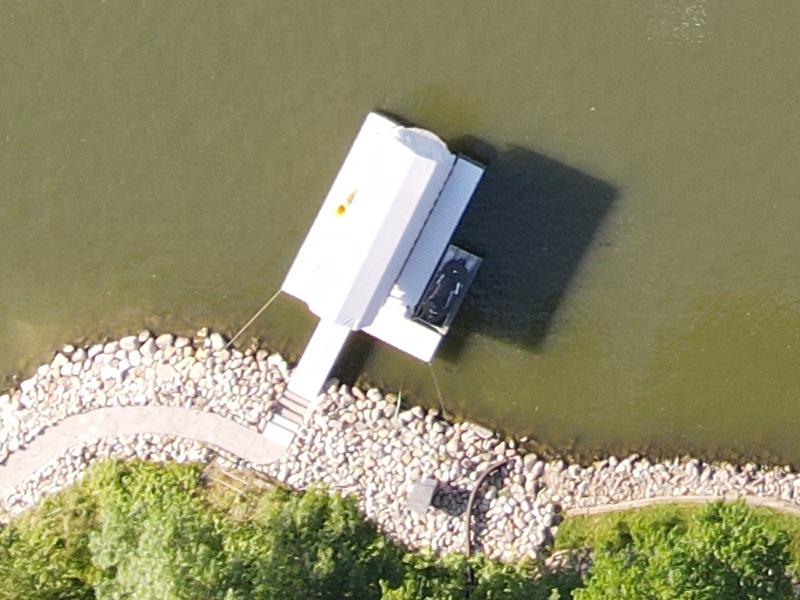
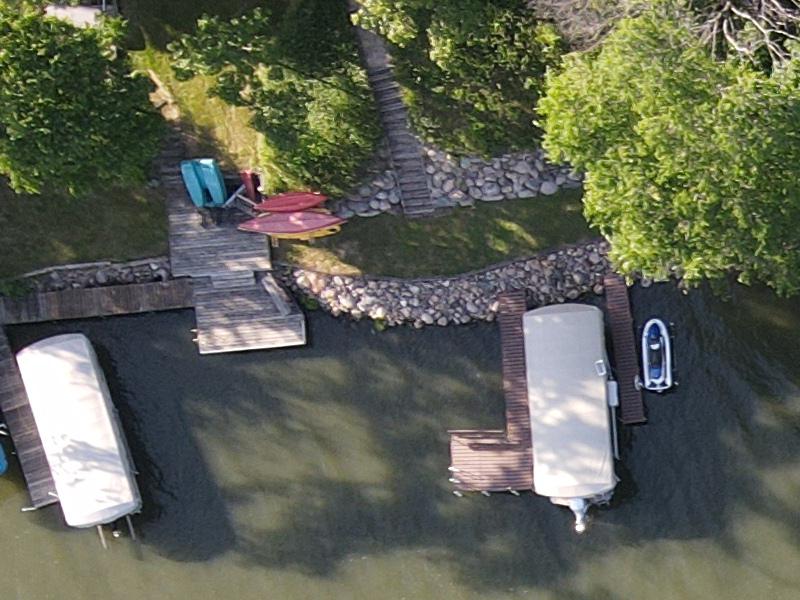
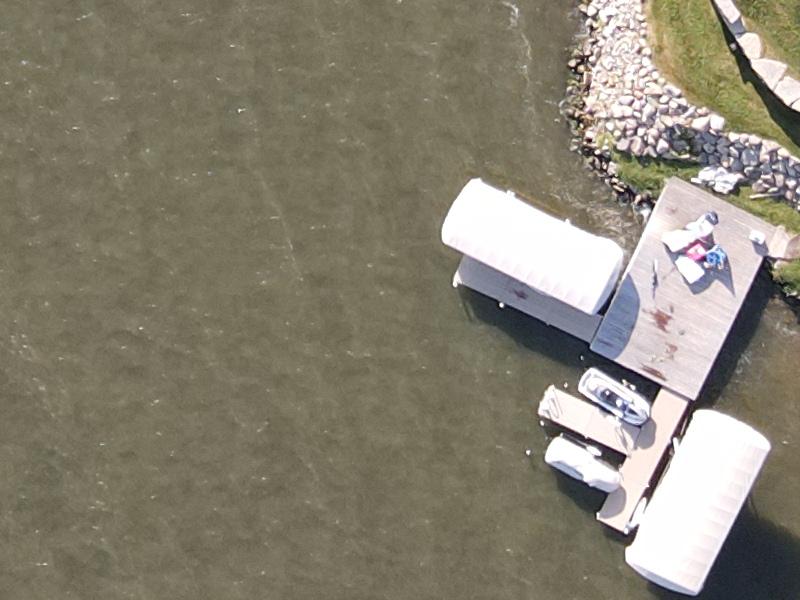
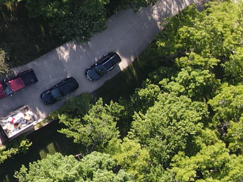
Image object detection (Aerial)
This machine learning model analyzes an input image, then returns descriptive labels and locations for 6 unique categories. Aerial object detectors like this are useful and customizable for a wide variety of applciations; like drone inspections, drone surveys, land-use analysis, and traffic counting. Thanks to the Roboflow team for making the dataset used to train this model public.
Accuracy threshold: 0.9
Need a custom object detector?
Drop your email below to get started. We'll respond shortly with an email to schedule a free consultation.